You tend to know the drive before you have made it. Off the interstate, past the last of the soybean and corn rows, onto a county blacktop that narrows toward a stand of river timber or the smell of a lake carried on the wind. There is a hand-painted sign at a gravel turn, a lodge with a screen door, a flag on a pole. For a lot of Iowa families, the camp at the end of that road is not a discovery. It is a place they have a history with.
Camp here is close to the picture most people carry in their heads, and that is worth saying plainly rather than dressing up. Cabins, a waterfront, campfires, a week that runs on a bell. What varies is less the look of the day than who is holding it together, and that turns out to be the useful thing to understand before you pick.
The clearest way to read camp in Iowa is by who runs it. The land does not sort the forms; the same lakeshore in the northwest can hold a church camp and a civic camp within sight of each other. What separates them is the tradition behind the gate. Faith bodies run their own kind of summer, the county extension network another, the civic clubs a plainer secular version, and the county naturalists a day-long sort. Learn whose hands are on the week and the rest of the choosing gets simpler.
The church-run week by the water
This is the deepest strand in the state. Denominational camps and independent Bible camps hold long stretches of wooded ground beside the glacial lakes of the northwest and the slower rivers elsewhere, and a resident week here blends the ordinary furniture of camp, swimming and canoeing and archery and campfire, with daily teaching in the camp's own tradition. Many of these grounds have been doing this for generations.
The thing to know as a parent is how much continuity rides along. Often it is the camp a parent went to, and a grandparent before that, and the handoff runs through a congregation or a community you already stand inside rather than to strangers. Where a camp is tied to a denomination, that is a fact about its character, not a wall; welcome is best confirmed with the camp itself. Described plainly, faith is the frame of the day here, and a family choosing this is choosing that frame on purpose.
Woven through the fair and the club
The cooperative-extension and youth-development strand is the one woven through the county fair and the club meeting rather than a lakeside ground of its own. It tends to mean junior overnight camps for the upper-elementary grades, leadership camps for the middle-school years, and a run of day camps in science, robotics, design, cooking, and the arts, many of them open to any young person and not only to enrolled club members.
What a family gets out of this form is proximity and familiarity. The leaders are frequently people you already know through the county program, the cost and the distance are modest, and a good many Iowa kids take their earliest night away from home under this banner, close enough that it never feels like the edge of the world.
River acreage and the plain traditional sort
There is a secular, all-comers strand too, run by civic clubs and metro recreation departments. Some of it sits on long-held acreage along a river bank, generous ground with a waterfront, horses at some sites, canoes, archery, the whole traditional apparatus of a sleepaway week. Alongside it runs a summer day camp in the cities that keeps working families covered from morning through the afternoon.
For a parent who wants the classic overnight without a faith frame, this is the reliable door. And when a full week away is more than a household is ready for, the day-camp side of the same tradition is the softer landing, a bus in the morning and a child home by supper.
Naturalists, and home before dark
The county conservation boards run the shortest form of all. Their naturalists lead day camps out of nature centers and county parks, into prairie remnants and along river corridors, short mornings and longer days of habitat hunts, outdoor skills, crafts, and games, with every camper home by evening.
This is the gentlest handoff in the state, and often the earliest a child makes. The venue is frequently the same park where the family already spends its weekends, the day is over before nightfall, and for a lot of children it is the on-ramp to the outdoors that makes an overnight somewhere else thinkable later on.
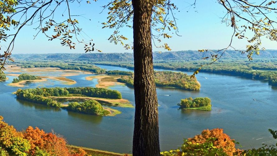
Summer here is hot and genuinely humid, and the nights at the peak of it stay warm and close. The stretch from spring into early summer is the season of severe weather, thunderstorms and hail and hard wind and the risk of a tornado, so shelter plans and a watched sky are simply part of how a camp runs. Wind moves openly across prairie and lake. Insects are real company: mosquitoes, ticks, and chiggers where the grass is tall and the timber thick. The lakes and slower rivers warm enough for swimming through the height of the season, and the long daylight stretches the camp day well into the evening.
This is a drive-in, drop-off state, and the shape of it is familiar: a highway leg, a tail of county road, a handoff at a camp gate or a lakeside lodge. What is distinctive is the continuity, since so many of these camps are ones a family already has ties to, and the contact during a resident week tends to run quiet, letters and posted updates rather than a phone in a pocket, though the exact norms are always the camp's to set. In the northwest lakes country a family can linger nearby, but that overlaps with a vacation region more than any camp-parent economy, and it is honest to call it that; for most inland camps there is no waiting town, only the drive home and the drive back.
Read across these traditions and the common thread is closeness. Camp in Iowa is rarely the far-off institution a family entrusts a stranger with; it is more often local, known, and tied to a church or a county or a park the family already moves through. The choice is less about which camp is grandest and more about which tradition you want holding the week, and how far from your own kitchen table you are ready to let it happen.
If you are new to any of this, it helps to know how camp families think before you compare options; the guide for parents is the part of the Field Guide about that groundwork. And if the traditions above have you wondering how any camp's underlying character is put together, the camp archetypes are the way to understand those shapes as ideas rather than as anything specific to this state.